
A Geoid is the equipotential surface of the Earth’s gravity field which best fits, in a least squares sense, global mean sea level. The Geoid Field File enables the user to utilize a Geoid Model that is appropriate for the mapping are under consideration. With a Geoid Model attached to a Coordinate System the user can compute Geoid Separations of the points in a project. If Geoid Separations are available it enables the user to switch between viewing Ellipsoidal and Orthometric heights. The relationship between these two heights is given by:
Ellipsoidal Height (h) = Orthometric Height (H) + Geoid Separation (N)
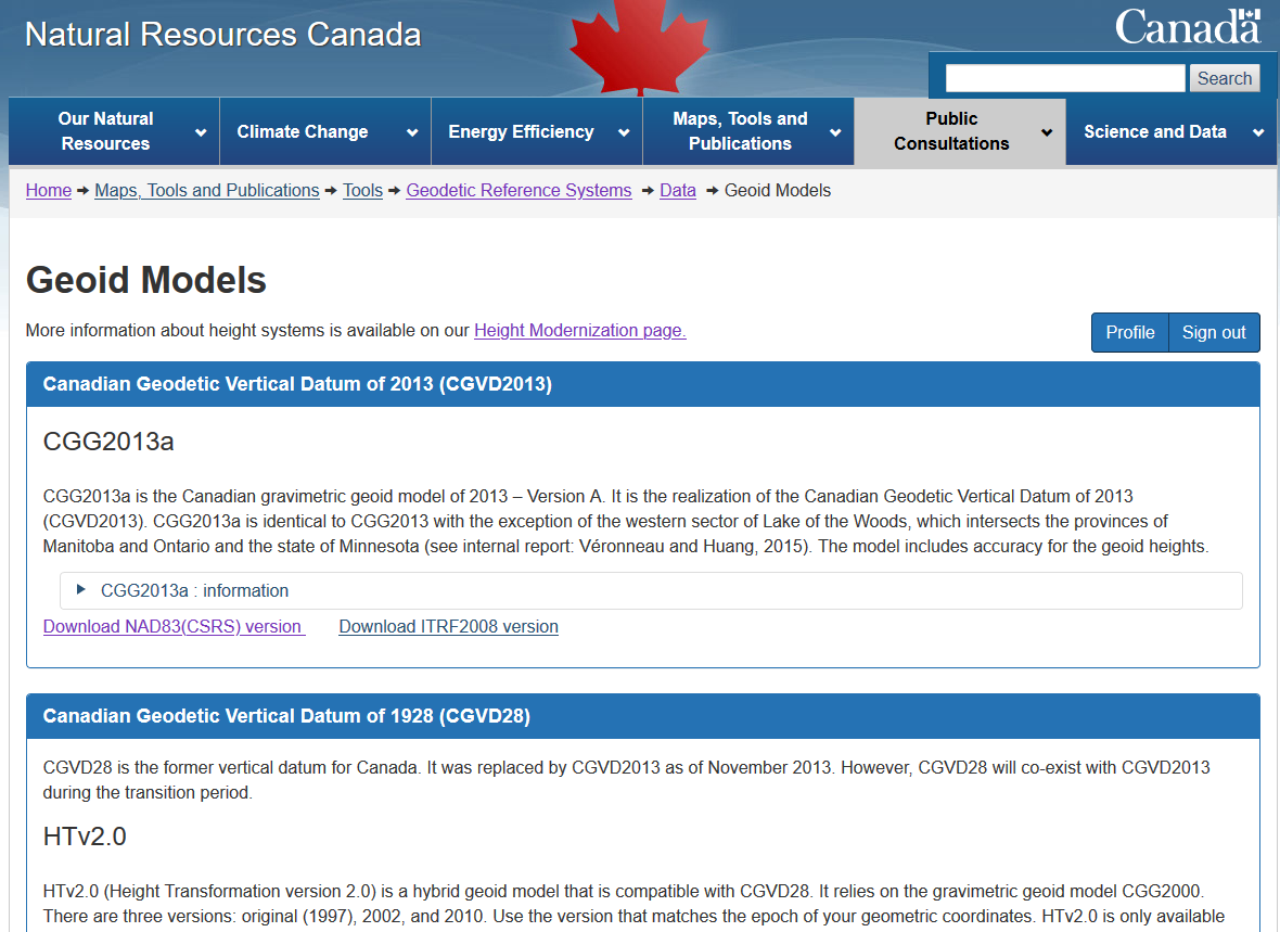
This quick guide will go through the procedure of properly creating a Geoid Field File (.GEM) in from a Geoid Model (.byn) as found in NRCAN (Natural Resources Canada) website.
Note:
Geoid Models are always an approximation of the actual Geoid. In terms of accuracy, they may vary considerably and in particular global models should be used with care. If the accuracy of the Geoid Model is not known it might be safer to use local control points with Orthometric heights and apply a transformation to approximate the local Geoid.
More information can be found on the Height Reference System Modernization page:
https://www.nrcan.gc.ca/height-reference-system-modernization/9054
John Tong
Comments